OSMA7 (Paradigma7)
Mining exploration software that audits drillhole data and ranks the next drill target
- Sector
- Manufacturing & industry
- Country
- Türkiye
- Category
- Custom software
- Services
- Custom software
- Technology
- Python, FastAPI, GeoPandas, SciPy, PostgreSQL / PostGIS, Docker
01 /
The brief
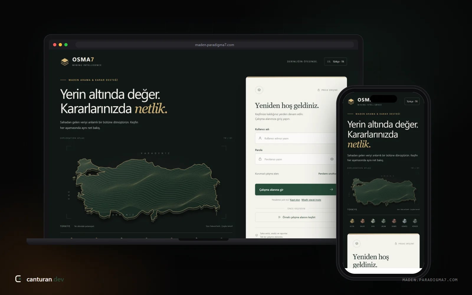
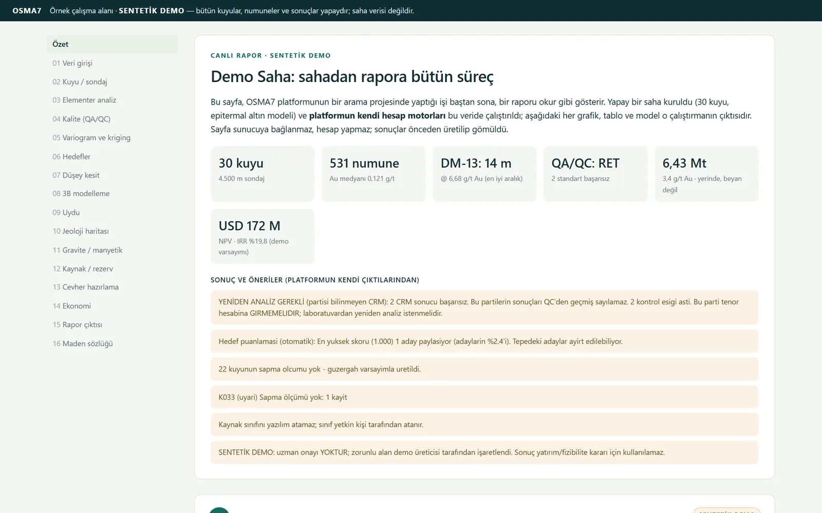
In mineral exploration, data tends to be scattered: drillhole spreadsheets in one folder, lab results somewhere else, licence boundaries in yet another file. Mixed units, mismatched coordinate systems or totals that do not add up are often noticed far too late. OSMA7, which we developed for Paradigma7, takes all of this into a single database and checks it on the way in. It then shows the data on a map, calculates hole traces, intercepts and models, runs quality control and brings the results together in one Word/PDF report. The software does not find deposits; it ranks where the geologist should drill next and explains why. It also audits the arithmetic of uploaded legacy reports. It currently runs as a pilot at maden.paradigma7.com.
Screens
A closer look
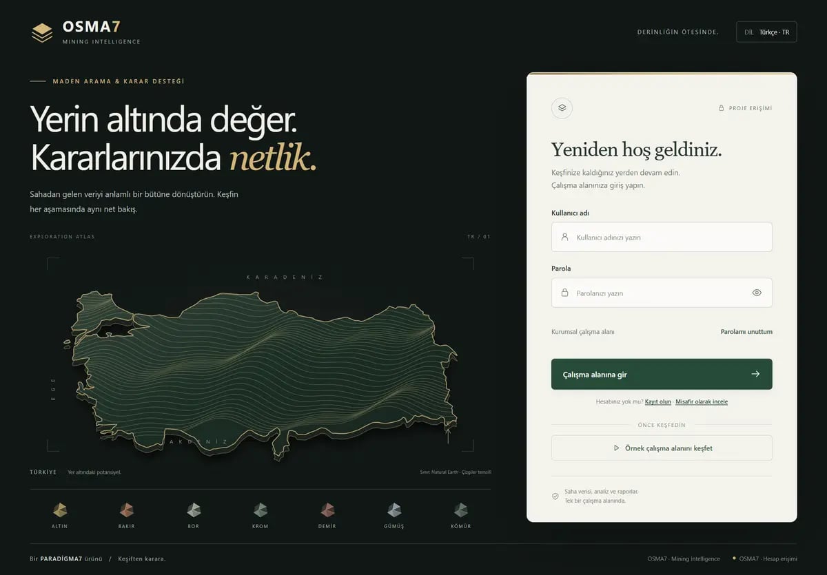
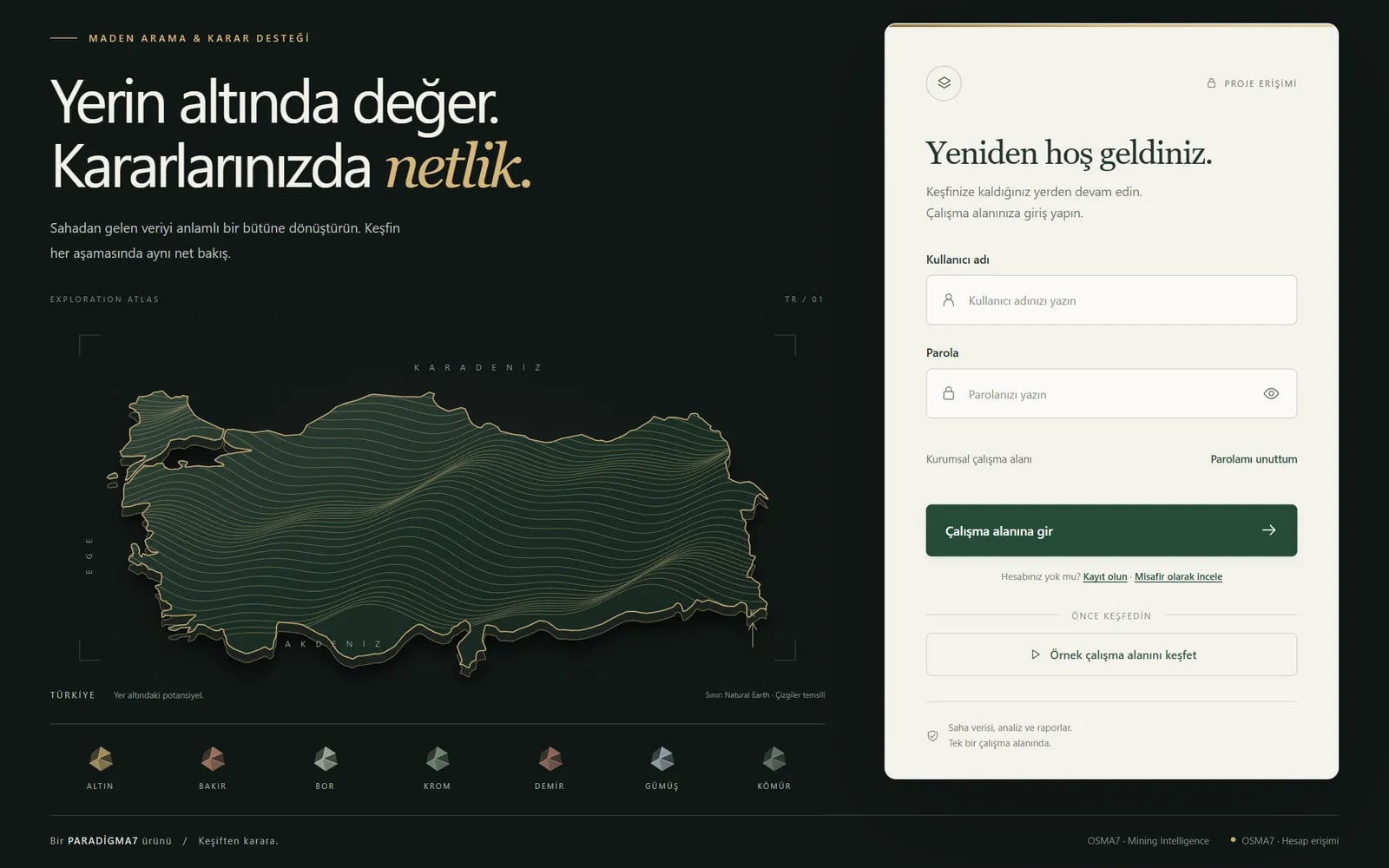
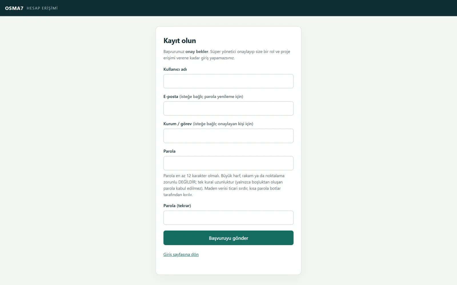
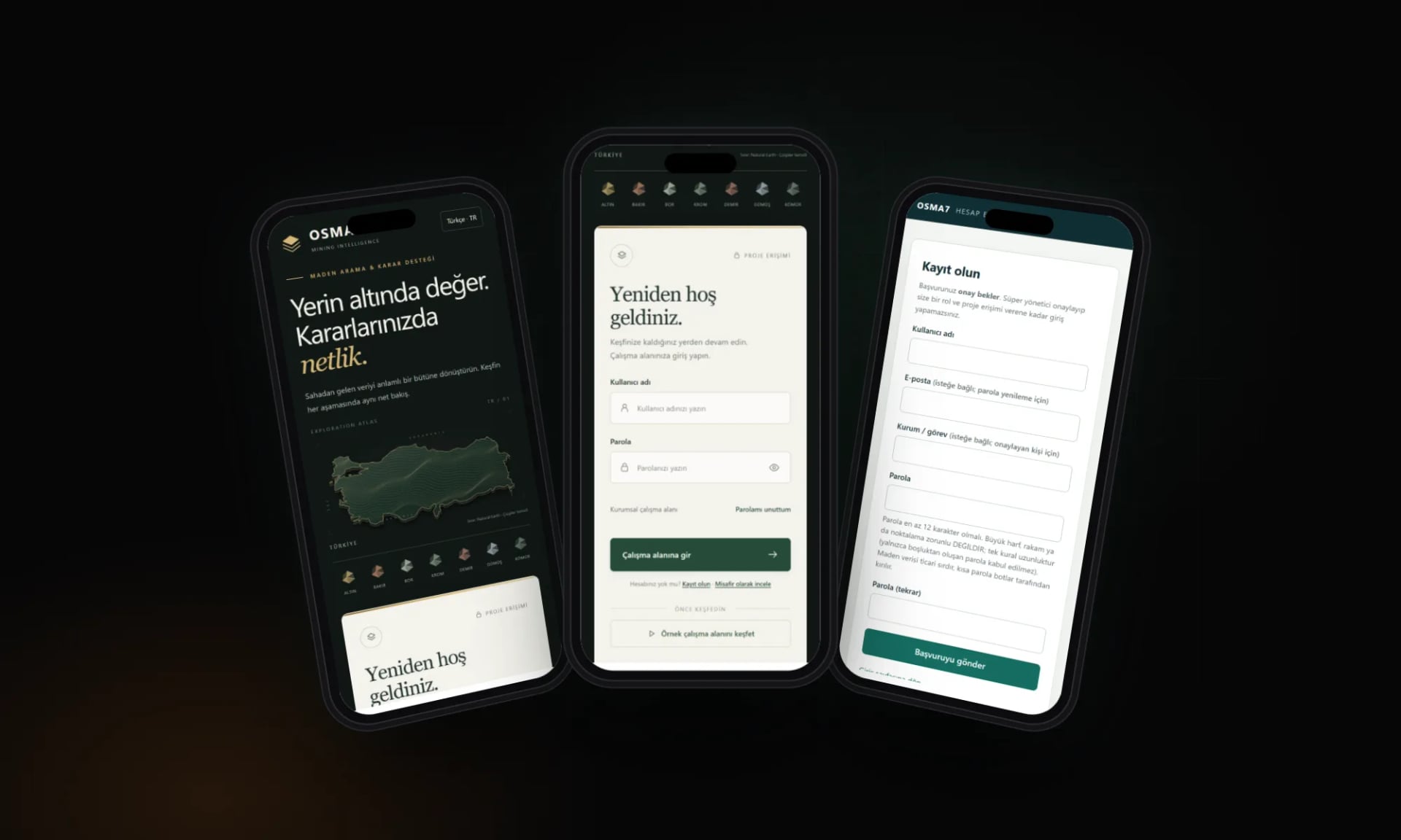
Fresh screenshots from the live site: the full page, inner pages and how it looks on a phone.
Home page
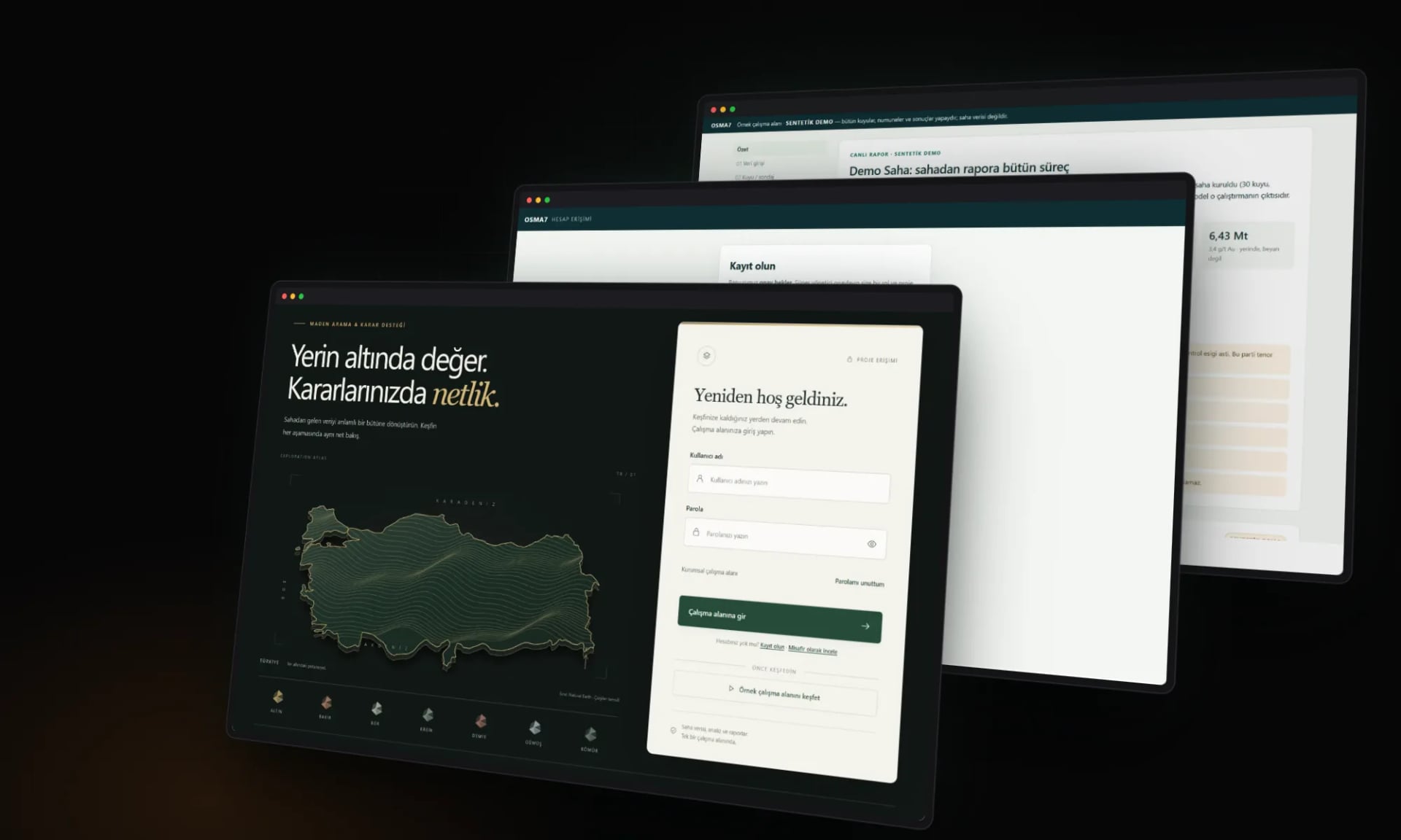
Sections and inner pages
02 /
Approach
Three decisions that shaped the project.
Bad data never slips in
If a coordinate system does not match, a unit is missing or two lithology intervals overlap, the record is rejected with the exact row and reason. Corrections are saved as new versions; the original data is never deleted.
Every calculation keeps its reasoning
Every cut-off in an intercept and every weight in target scoring needs a stated reason. Holes without survey data are stamped “assumed”, and if QC was not run the report says “not done”, not “passed”.
Open-source engines, unmodified
Geostatistics, 3D modelling and open-pit calculations run on open-source libraries used without modification, so results can be checked against manuals and textbook methods. Our own code ties those engines together.
03 /
What we delivered
- Data import from CSV, Excel and PDF tables
- Rule-based validation with row-level error reports
- Map, downhole log and cross-section views
- Intercepts, kriging and 3D geological model
- QA/QC for standards, blanks and duplicates
- Drill target ranking with the reasoning shown
- A single Word/PDF report; Turkish and English interface
Tech stack
- Python
- FastAPI
- GeoPandas
- SciPy
- PostgreSQL / PostGIS
- Docker
Services
The code and the domain belong entirely to our client.
Live now
Visit the live site
maden.paradigma7.com (opens in a new tab)
Next project
A—43
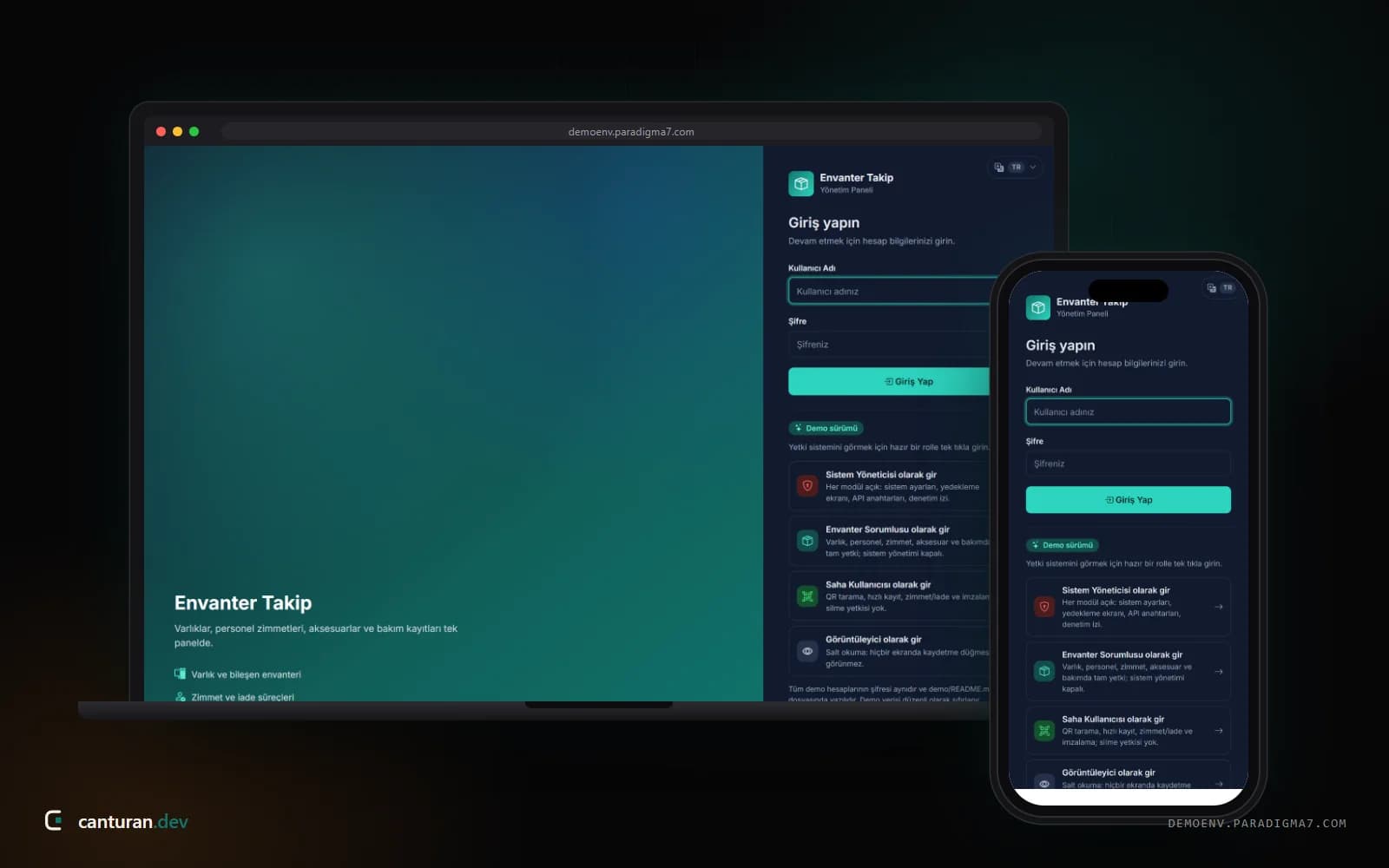
Envanter Takip (Paradigma7)
An asset tracking system for equipment, staff assignments and maintenance in one panel
Manufacturing & industry · Türkiye